


 614 / 842

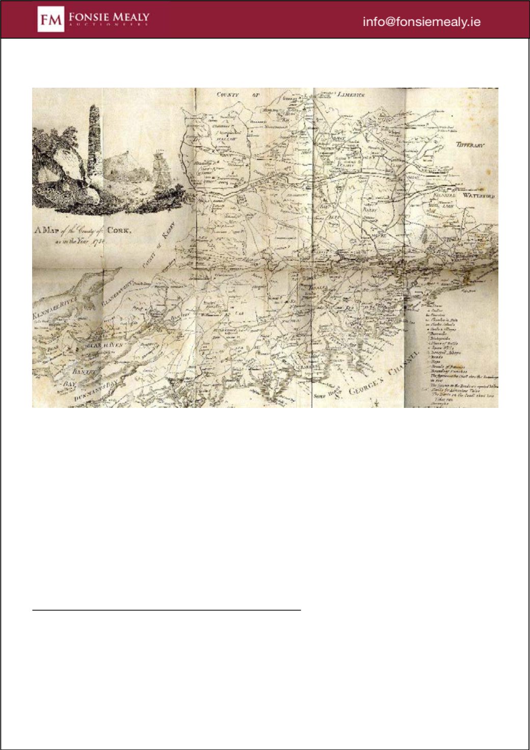
564
Maps: Munster & Cork: Speed (John) The Province of Munster, 38cms
x 48cms, with engraved decorative border; A New and Correct Map of
the County of Cork, from Charles Smiths History, 1750, approx. 51cms
x 70cms; A Map of the County of Cork as in the Year 1750, engd. by D.
Corbett, 38cms x 47cms, with engd. cartouche. As maps, w.a.f. (3)
Estimate €180 - €220
Large Image, More Info & Place Bid Lot 564